Tuesday, July 21, 2020

Paddleboarding and Packrafting Jim Lake to Jim Creek to Knik River

I took my packraft out with my 3 friends who were all using Stand Up Paddleboards. This is a great beginner route, and even though the Knik River is fast, once you're out on it, you can hardly tell you're moving until you look to the side and see the scenery whipping by. It was also remarkably easy getting out at the end as well; my friends on SUP's all felt comfortable, even though they're all beginners.


This whole traverse was 7.5 miles (About 0.6 miles across Jim Lake, 3.5 miles down Jim Creek, and the rest is Knik River) and took about 4 hours beginning to the Old Glenn Highway Bridge (first bridge crossing), and driving time in between is about 25 for car staging. It would work as a bike-packing solo adventure as well, and would likely only take about an hour to bike out to Jim Lake from the Old Glenn Highway Bridge over Knik River.

If you want to keep going, Jim Lake to the Glenn Highway Bridge is 16 miles, and takes another 2 hours of floating time.

 
We started from Jim Lake parking lot, which is at the end of Maud Road, past the shooting range. From this location, we aimed a little too far to the right side of the Lake, found a portage to Jim Creek that worked, but after bushwhacking for 100 or so feet and floating Jim Creek for about 1/4th mile, we learned there was another, better route.


This was our slight bushwhack portage looking back from Jim Creek on my packraft. The paddleboarders decided it was best to leave their large fins on, despite the risk of grounding out. There aren't any rocks on this whole route, just sand, and if you do scrape up against the silt, you don't have far to fall.

This was the way we SHOULD have gone! From the parking lot, aim slightly left of Pioneer Peak, directly across from Jim Lake, and eventually you'll find a portage that is a lot easier to traverse than our bushwhack. 

At the end of Jim Creek, where it intersects another stream. With about 1.5 miles to go until we hit the Knik River.

This was the point where Jim Creek intersected the four wheeler trails out to Knik Glacier. It got REALLY shallow, to the point where we had to get out and walk our floaty things about 200 feet. 


Out on the Knik River, moving fast, but feeling like we were hardly moving.


Approaching the Old Glenn Highway Bridge. We took out just on the other side of this bridge, and it would have been pretty difficult to miss it. There's a long beach and the water is not moving very fast on the right side after the bridge. We had staged a car just outside of the "campground" area.

Thursday, June 21, 2018

Devil's Pass Mountain Bike

A mid-June 2018 ride up Devil's Pass. Amazingly easy and the extremely rocky sections are definitely easy to walk, if needed. There were three stream crossings that were tough to get through without getting wet, but it was a great time to be up there, and well worth the ride! 


Monday, May 21, 2018

Little Susitna River to the Lynx Lake Canoe Trail

It's mid-May in Alaska, and the options for big weekend trips are still fairly limited. I was looking up information on the Lynx Lake Canoe Trail, and found information on the DNR website about an access option being the Little Susitna River from the intersection with the Parks Highway. A group of 6 of us decided to give it a try, and connect it with the Lynx Lake Canoe Trail, and end at Tanaina Lake. 

We staged a truck at the Tanaina Lake Trailhead on Nancy Lake Parkway and started with a canoe, a double kayak and a single kayak from the intersection of the Little Susitna and the Parks Highway, at Mile 57. From the parking lot, there is a hardly noticeable trail that is only about 100 feet to a nice put-in on the Little Su. 

From here, we paddled, and paddled and paddled. It seemed like the water was moving a good 3 miles per hour, but considering it took us 5.5 hours paddling, the current wasn't as strong as it seemed. Nonetheless, mid-way down there were a surprising number of quick turns and fallen trees and random rocks to paddle around. 

At mile 14 was the Portage for Skeetna Lake. It's a steep muddy cliff face. It was quite difficult to get our watercraft up it, but that was the easy part...the 1/2 mile portage was a lot longer than any 1/2 mile I've ever been on. Especially since everyone was struggling with moving their gear and kayaks, so I ended up doing 3 roundtrips on every portage. That's a lot of walking for a water route! 

Over time--and there were 13 portages in total--we figured out what worked best. Since I am taller, I would carry my backpack and use it as a cushion on the front of the canoe, while someone behind me had a clear view as well. The double kayak we had with a rudder was awful to carry. 

In the future, I would do this trip again if it involved a canoe and 3 people, or just packrafts. Packrafts being the best option of all, without a doubt. 

We started floating from the Little Su/Parks Highway at about 1pm on Saturday, and we were at the Lynx Lake Cabin at about 10pm that night. The next day it took 4 hours to head up the north part of the loop to the Tanaina Lake Trailhead. 


From the Lynx Lake Cabin

The put-in on the Little Susitna. The Parks Highway is visible in the distance, as is the direction of flow. The parking lot is about a 1 minute walk from this location. 

Floating down the Little Susitna

After the first 1/2 mile Portage...a channel leading into Skeetna Lake


Friday, May 18, 2018

Matanuska Peak, Palmer, AK

I first hiked Matanuska Peak 2 years ago in the summer, and I figured based on the terrain that the entire bowl would be avalanche central during the winter. During a low snow start to this winter, I decided to adventure up there, and this became my favorite winter mountain climb, and I made it up there a handful of times. The area is incredibly wind blown, so the entire 3,000 feet leading to the summit nearly free of snow year-round.

To get to the Matanuska Peak Trailhead, take the Old Glenn Highway from Palmer (or you can go the other route by Pioneer Peak, since they are almost identical in time travel) to Smith Road. Follow Smith all the way to the parking area.

These pictures are from early May, 2018, but really are fairly representative of what it was like up there all winter!

This is the only heavily snowy area, and can even be avoided by going about another quarter mile up the valley before taking the snow-free ridge to the top


Going up the snow free ridge 

Looking at Pioneer Peak and the Bodenberg Butte from the summit

Colin at the summit making it look more dramatic than it really is

On the summit looking down on Palmer and Lazy Mountain

Near the summit looking due east

Looking north from the summit

Sunday, September 17, 2017

Penguin Ridge (16 miles; 10,000 vertical feet)

We did this in mid-September, which turned out to be a nice time, with no snow. I've read other reports saying springtime is the best time, and I'd love to see if that's correct. I personally imagine that the snow would make me feel a lot less stable on the knife-edge ridges. I knew I was in for sketchy areas on this traverse, but there were definitely a few sections that could end badly if you happened to slip. While the ridge generally gets easier the farther from Penguin Peak you get (if you're heading toward Girdwood, which is what I'd prefer, since you get the hardest part out of the way), the most challenging section for me was downclimbing a very steep section that ended on a knife-edge ridge, just about halfway from both trailheads. It came out of nowhere, and I didn't expect it. In hindsight, this whole ridge was just fine, and I'd do it late in the summer again, for sure. But don't forget: it's LONG. It took us 14 hours, and I felt we were going at a comfortably fast pace. 12 hours would be the fastest you could expect, walking. 

I have heard a lot of not-so-inviting stories about this ridgeline. My friend James made a meetup run for it back in 2014, expecting a 7 hour journey over the 10,000 vertical feet. It ended up taking the 3 people that participated 12 hours. Almost everyone I know ends up running out of water up on the ridge, as there is no water, whatsoever, except for a lake near Gentoo Peak on the Girdwood side. However, to get to it, you must drop several hundred feet and go perhaps 1 mile roundtrip out of the way, which is a lot when you're pressed on time and wanting to get back. One friend a few years ago took her pack off near the sketchiest part of the ridge, Penguin Peak, and it rolled nearly all the way to the lake 2,000 feet below.

I made sure we would be prepared. There were 5 of us that came, and I brought 1.5 gallons (I actually ended the hike with about 2 liters to spare! What a waste!). Sarah and I staged a car on the beginning of the California Creek Trail in the morning, and met up with the others at the Bird Creek Trail. 

From the Bird Creek Trailhead, follow for about 1 mile, until you see a trail marker for Penguin Peak Trail that takes off on the right. Be aware: this area has the highest number of bear maulings of any area in Alaska. The Penguin Peak trail weaves through dense Alders as you follow the gully to the top of the ridge. There's no best way up to Penguin Peak, but I prefer to get up on the ridge as soon as possible. Once on the ridge, simply stay as close to Turnagain Arm as you can, unless that involves falling off a cliff face. We got fogged in the Girdwood half of the peak, and ended up unintentionally losing our bearings up on Emporer Peak, which is slightly out of the way. I had to get the GPS out to figure out where exactly we were. 

It does get confusing around Gentoo Peak. You can either go up and over Gentoo, and drop down a very steep gully, which definitely has slippery tundra and dirt, or you can bypass Gentoo Peak, which is what we did, and side-sloped down to intersect the gully from below. Either way is quite a steep descent. When looking at aerial imagery: aim for the triangular shaped open meadow. It is waist-deep with ferns/parsnip/grasses, but if it's late in the season, someone will have stomped down a trail up to the gully. On the far downward side of the open meadow, there is a well-established trail. 

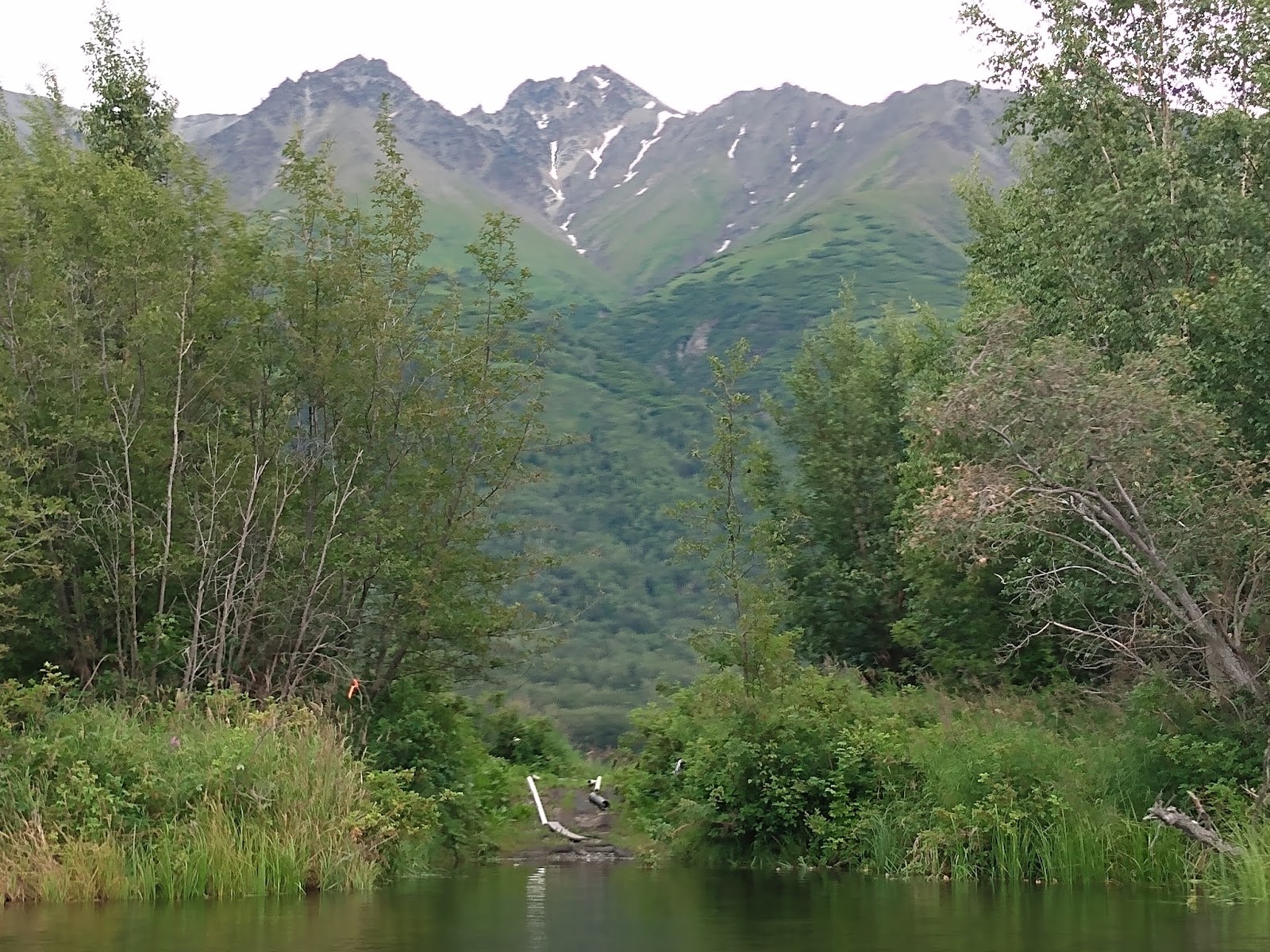
Once you've found the trail, be prepared for mud. Ankle-deep mud. There are numerous trail options down, but I've learned that all lead to the same area. Just keep aiming downstream, and you'll intersect the Crow Creek Road at the intersection of California Creek. 

This adventure took us 14 hours. When we had about 12 hours of light. We started in the dark, and ended in the dark. Plan on a long day! 


The more dangerous sections have arrows pointing to them


Sunday, March 19, 2017

Skookum Glacier


It's approximately 5 miles from the Placer Creek boatlaunch parking lot, and I'm surprised more people don't up up here! Yes, it requires a big chunk of the winter for the river to freeze up nice and solid, and biking is very difficult in an area that typically gets dumped on several times a week all winter. But even with high winds, skiing to Skookum Glacier seems to always have plenty of powder. 

In early 2017, the area managed to go almost an entire month without getting snow, so everything was packed down by snowmachines, and fat bikes, so the biking was actually very easy to both Skookum and Spencer Glaciers. 

From the Placer Creek Trailhead, head up Placer Creek until the creek gets within 50 feet of a railroad bridge. The underpass under the railroad is about 7 feet tall, and this is typically the easiest route to get to Skookum. But there is also a shorter route through a field, about a mile closer to the trailhead, that may or may not be packed down by the time you head up there. 

As I got up there, there were several snowmachines that were sledding down the glacier from up above, apparently doing some tour skiing.