Wednesday, June 15, 2016

Raisin Glacier Traverse/Upper Peters Creek


I have been up Ram Valley a number of different times. In summer 2015 Ryan and I tried to camp out at the tarn just above Peters Creek, but ended up getting up there too late. Ram Valley is a long slog, that's for sure! And it's good that we had to turn around before Bombardment Pass, because I learned the summer after that the tarn was still a solid 2 hours away! We ended up camping in the only flat area around...near the base of Ram Glacier. 

In June 2016, I took a group up there, after planning out a big loop that'd go up Ram Valley, drop down to the base of Raisin Glacier, follow Peters Creek out part way, but looping back around near Mount Significant. I love traverses that don't require car-staging, if it's possible. 


Heading up Ram Valley 

Climbing up Ram Glacier

Near the top of Ram Glacier/Bombardment Pass

Ram Glacier


Dropping down the east side of Bombardment Pass


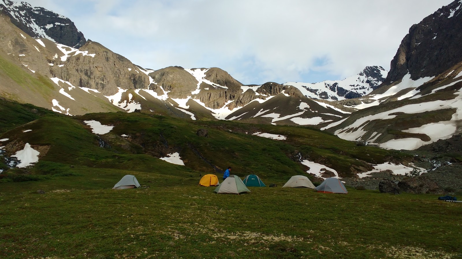
We camped at Peters Creek on the Second Night


Looking up Peters Creek on the 3rd day


Looking at Raina Peak and Peeking Glacier


Peeking Glacier


Heading back toward Eagle River Nature Center

Eagle Peak in the Background


Monday, June 6, 2016

Kesugi Ridge (Little Coal Creek to Byers Lake)

The first week of June, in a seemingly low-snow winter. I figured it'd be fine to backpack Kesugi Ridge this early, even though everyone seems to do it after June is over. I did a search for #KesugiRidge and found a group that had done it the week before, and they stated there was two feet of snow in areas. 

What a week does! There was one small snowbank the entire way, and the rest had all melted off. 

We dropped a car off at Byers Lake, as well as Alicen's car at Ermine Hill (she had just broken her collarbone mountain biking, and it seemed like a good bet to have the car there in case she needed to bail halfway through). We started from Little Coal Creek, and within 2 miles we were into the alpine. After having done the whole Little Coal Creek to Byers Lake traverse, I'm tempted in the future to simply cut out the Byers Lake half, and make for a shorter trip with longer excursions to surrounding peaks. The Byers Lake side of the trek doesn't have much of a view of the Alaska Range, is lower in elevation, and thus more mosquitoes, biting flies, and vegetation. I'd much prefer to stay high up, and then drop down to Ermine Hill. 

The trail is extremely well-marked and easy to follow, even on a foggy day. This is an easy backpacking trip when it comes to technicality, but of course it's a long haul. 

We began this hike on Friday morning, and were back to Byers Lake by Sunday morning. It's definitely possible to complete this entire backpacking trip from Friday night to Sunday night, but it'd be a lot of driving and not much room for relaxing! 


Starting off the hike, about 3 miles in, with the Alaska Range in the background


The Ermine Hill rock outcrop


Heading up to Skinny Lake

Camping just above Byers Lake. It was an easy 4 mile trek back to the car early in the morning. 

Workers fixing up the collapsed bridge at Byers Lake.